
Hillsborough ZIP Code Directory Coverage
Several postal labels can appear with a Hillsborough Township address. The documented Hillsborough facilities establish the current postal names and addresses below, but they do not draw municipal borders. In particular, Skillman and Raritan are Hillsborough-area postal associations in the source material, not assigned township neighborhoods. Verify the Hillsborough postal line for an individual parcel with USPS before treating it as a delivery address.
| ZIP | Documented postal area | Post office | Record-use note |
|---|---|---|---|
| 08502 | Belle Mead | Belle Mead Post Office | Its postal label can coexist with Hillsborough parcels and nearby Montgomery geography. |
| 08558 | Skillman | Skillman postal association | Requires Hillsborough parcel-level USPS verification before assigning it to a township area. |
| 08821 | Flagtown | Flagtown Post Office | Use a Hillsborough address-level USPS result to confirm delivery details. |
| 08844 | Hillsborough | Hillsborough Post Office | Principal Hillsborough postal label in the official Hillsborough facility records. |
| 08853 | Neshanic Station | Neshanic Station Post Office | The postal name can differ from the Hillsborough township name. |
| 08869 | Raritan | Raritan postal association | Requires Hillsborough parcel-level USPS verification before assigning it to a township area. |
A Hillsborough postal result answers how an address is served. It does not prove that the whole ZIP lies inside Hillsborough, that every parcel with the label lies in the township, or that a person or organization is present at the address. The Hillsborough tax list, parcel map, and land record use different geography for different purposes.
Note: Use the facility table as a postal starting point, then confirm the exact address with USPS and parcel identifiers.
Hillsborough ZIP Post Offices
Belle Mead and Neshanic Station are useful Hillsborough postal labels when a historical record does not say Hillsborough Township. USPS identifies the Belle Mead Post Office at 2468 US Highway 206 with the 08502-9998 facility label.
The USPS Belle Mead Post Office record supplies the source for the facility information.
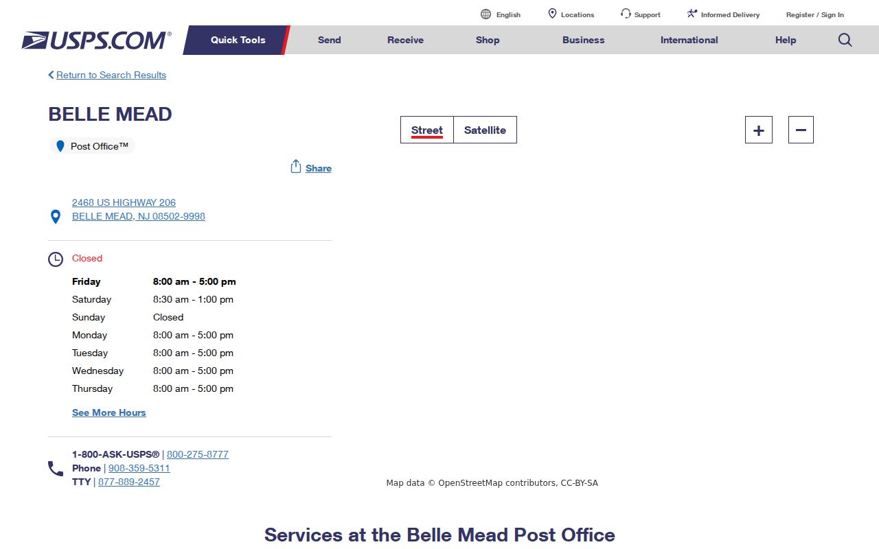
For record research, keep the Belle Mead line as a search variant and resolve the actual parcel with its address, block and lot, or legal description.
USPS lists the Neshanic Station Post Office at 1 Main St with the 08853-9998 facility label. Neshanic and Neshanic Station should both be tried in historical and postal searches.
The USPS Neshanic Station Post Office record identifies that facility.
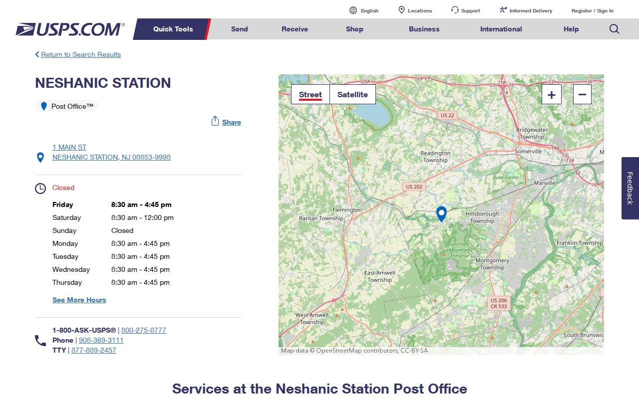
The differing Hillsborough labels are a search aid, not competing municipal identities. Compare the postal line with the county parcel and deed description before merging Hillsborough records.
Hillsborough ZIP Code Search Labels
Hillsborough, Belle Mead, Blackwells Mills, Flagtown, Neshanic or Neshanic Station, and South Branch are all meaningful search terms in local records. The Township's five named communities are not interchangeable with a single postal boundary. A newspaper, directory, tax record, or map may use a village or post-office name while the legal land description uses block and lot. Preserve each wording in your notes rather than replacing it too soon.
The Hillsborough facility is at 437 Amwell Road and carries the 08844-9998 facility label. It is the strongest postal reference for a Hillsborough line, yet it remains a USPS facility record rather than a township-boundary map.
The USPS Hillsborough Post Office record is the source for that facility.
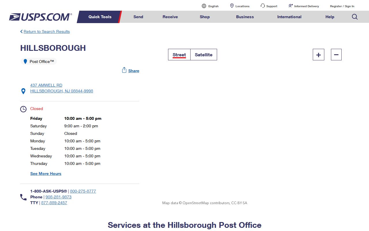
Keep the returned postal city and the situs address together. The Assessor and tax list distinguish a property location from the mailing line tied to it.
Flagtown is another vital label. USPS lists the Flagtown Post Office at 223 South Branch Road with the 08821-9800 facility label, a useful connection between a village name and an address search.
The USPS Flagtown Post Office record provides the facility reference.
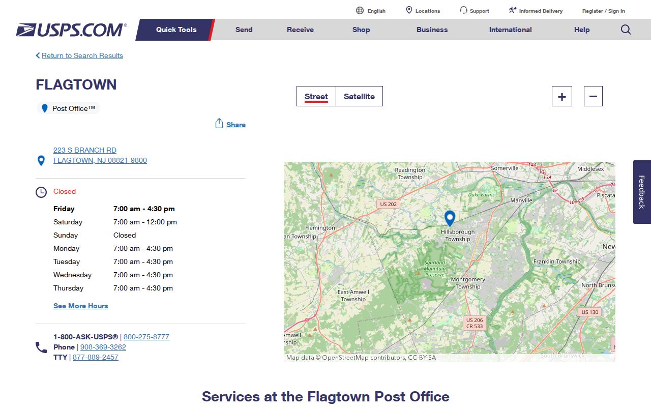
South Branch Road and a Flagtown postal line may lead to the same local context, but records should still be matched with the parcel identifier.
Hillsborough USPS ZIP Code Fields
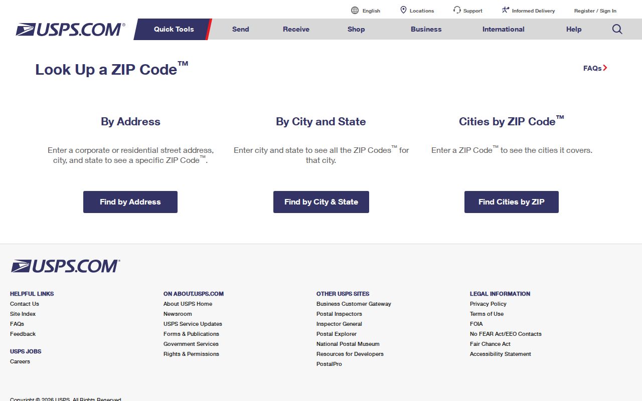
USPS provides address, city-and-state, and cities-by-ZIP modes. The address form is designed to normalize a postal line. It does not confirm a person or company is at the address, and a multiple-match result should be narrowed by its street or unit information.
| USPS field or mode | Required status | Use in Hillsborough research |
|---|---|---|
| Company | Optional | Optional Hillsborough postal-line detail, not presence verification |
| Street Address | Required for address mode | Matches a Hillsborough street and number to a delivery record |
| Apt/Suite/Other | Available | Distinguishes a Hillsborough unit where the address has more than one match |
| City, State, ZIP | Address-mode inputs | Normalizes a complete Hillsborough postal line or checks a supplied ZIP |
| Cities by ZIP | Alternate mode | Shows Hillsborough postal city associations, not municipal jurisdiction |
The USPS ZIP Lookup shows the available lookup modes and address fields.
After USPS returns a postal line, use the Hillsborough tax material and Somerset parcel records for property context. That second check is what separates delivery geography from the legal parcel trail.
Hillsborough ZIP Code Directory Workflow
Use a postal label to narrow an address, then shift to records that are actually keyed to a parcel. The county Tax Parcel Viewer does not document a ZIP filter. It searches address, block/lot, and property class. Hillsborough's annual tax list includes ZIP and billing columns, but it is a record snapshot rather than a live ZIP-wide search portal.
- Run the full Hillsborough street address through USPS and retain the returned postal city and ZIP.
- Find the same situs in the Hillsborough tax list or through the Assessor to capture block, lot, qualifier, and mailing-versus-situs context.
- Search the Somerset parcel map by address or block and lot, then record the parcel geometry, class, and deed cross-reference.
- Use the County Clerk legal-description or book-and-page search if the Hillsborough postal label and road number do not resolve the same parcel.
- For a voter-list question, confirm a municipality, district, or other lawful area with the Board of Elections instead of assuming a ZIP is a standard request field.
Once a postal area has narrowed the address, the Hillsborough street directory has the parcel-by-parcel sequence for deeds, permit records, and historical address clues.
Hillsborough Parcel Checks by ZIP
Hillsborough block and lot are more stable than a postal label when a road crosses village context or a property lacks a simple numbered address. The Somerset parcel layer exposes LandDesc, Acreage, Zoning, TaxMap, BuildDesc, DeedBook, and DeedPage fields. Those attributes help connect a selected Hillsborough map polygon with an annual tax-list entry and then with a recorded instrument at the County Clerk.
The 2024 redesign added 200-foot notification and search reports to the parcel viewer, as well as bookmarks, basemaps, and layer controls. These are useful for seeing nearby parcels, but the map's public owner names are redacted. A map result should therefore be followed by an Assessor contact or a land-record search, not a guess based on the postal line.
Note: ZIP and billing fields appear in the tax list, while the public parcel viewer is documented for address, block/lot, and class searches.
Hillsborough ZIP Code Boundary Mismatches
A ZIP is a delivery geography, not a municipal boundary or a resident roll. A Hillsborough parcel can carry a Belle Mead, Flagtown, Neshanic Station, Skillman, or Raritan postal label. The tax list also separates the owner's mailing ZIP and city line from the property location. That is why a postal match can be accurate for mail while still being incomplete for land, voting, zoning, census, or record-custody questions.
Use the Township mapping hub and Somerset parcel viewer for parcel, zoning, census, voting-district, and map context. Use USPS for the deliverable address. When those sources disagree, identify the parcel with block, lot, and legal description, then consult the office that holds the record needed. Do not assign 08558 or 08869 to a specific Hillsborough neighborhood without an address-level USPS and parcel check.
Hillsborough Postal Terms Defined
These terms describe mail routing, not a list of people or a substitute for the Somerset land record.
- ZIP
- A USPS delivery-zone label used to route mail. It can cross township and county contexts.
- ZIP+4
- An added four-digit delivery refinement for a smaller address group, building, or segment. It does not change the underlying parcel.
- PO-box ZIP
- A postal label associated with box service. It should not be treated as the physical situs of a person or property.
- Unique ZIP
- A postal designation serving one large recipient or organization. None should be assumed here without USPS confirmation.
- Carrier route
- A USPS delivery sequence used for mail handling. It is not a municipal district or a property ownership field.
Hillsborough ZIP Code Change Checks
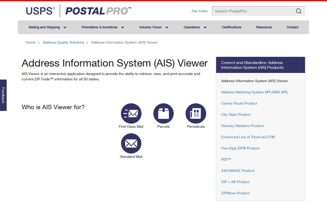
No Hillsborough-specific ZIP split or realignment history was located in the official research. That absence is a reason to verify a suspected change, not to infer one from a generic ZIP map. USPS identifies its AIS Viewer and ZIPMove resources as the official tools for reviewing address-quality and ZIP-change information.
The USPS AIS Viewer is the source for those change-verification tools.
For a historical record, retain the original postal wording, confirm the current USPS line separately, and bridge the two with the parcel's legal description or block and lot.
Hillsborough Postal Geography
Hillsborough's broad footprint explains why local records move between village, county, parcel, and postal names. The township includes Belle Mead, Blackwells Mills, Flagtown, Neshanic, and South Branch as named community contexts. A person may appear under a Neshanic Station postal line, a Hillsborough Township tax record, a Somerset County deed, and a newspaper indexed by another village. Those are separate filing choices, not proof that the records concern different places.
For a former-address question, pair the postal line with the 1917 to 1984 Somerville directory collection only as a regional proxy, then compare newspapers, deeds, and the public census years. For a current parcel question, lead with the Assessor and county map. That division keeps postal research precise: USPS settles the delivery line, GIS identifies the land, and the Clerk identifies the recorded instrument.